Instructions for finding Distance using Google Maps and Wolfram Alpha
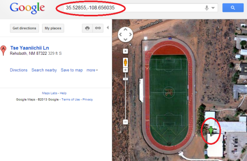
1) First you should find the place in Google Maps. Right-click and select “What’s here?” You should see a green arrow now on the location. In the search bar it will leave some coordinates, which are the very precise latitude and longitude of the place. Copy these coordinates.
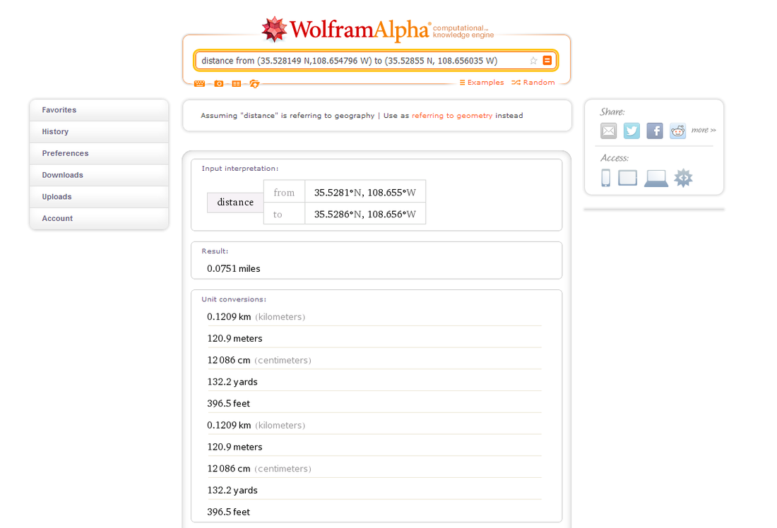
distance from (35.528149 N,108.654796 W) to (35.52855 N, 108.656035 W)
Make sure you change +/- to N/S or E/W otherwise Wolfram Alpha will simply plot them as points and find the distance. You’ll have to go back to Google Maps to select the other point and find the other set of coordinates.


 RSS Feed